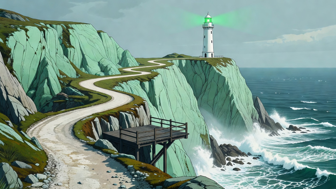
Headlands are places of interruption. A shore changes direction, currents meet an obstruction, and vessels approaching from different bearings must recognise the same piece of land. On foot, those relationships become visible slowly. A tower that seems remote from a village may make perfect sense when you see the long sweep of water it overlooks.
This reading path considers three contrasting settings: South Stack, Portland Bill and Flamborough Head. They are separate destinations, not stages of a continuous trail. Each offers a way to connect a coastal walk with maritime history, but none should be approached using this article as a route guide.
South Stack: notice the separation
At South Stack, off the coast of Anglesey, the lighthouse occupies a small island beneath the higher ground around Holyhead Mountain. That separation matters. A view from a public cliff-top path is a different undertaking from a descent towards the lighthouse, and access arrangements for the attraction can change.
Before travelling, check the current visitor information for the steps, bridge and tower. Do not assume that a visible approach is open, or that an outward descent says anything about the effort of the return. A person comfortable with level walking may find a long climb, uneven surface or exposed viewpoint unsuitable.
The wider landscape rewards a less destination-driven visit. Watch the shape of the cliffs from established viewpoints, listen for birds without approaching nesting ledges, and let wind strength determine how close to the exposed sections you go. A shorter inland outing can be the better walk.
Portland Bill: read the rock and water
Portland Bill, in Dorset, feels different: a low, rocky end to a much larger landform, with maritime structures that invite comparison. The active lighthouse is part of a landscape where older towers and changing navigational needs can be read together. Seeing several structures does not mean that every surrounding space is public.
The coast here is not a convenient extension of the pavement. Broken rock, ledges and rough ground can complicate an apparently short approach. Strong tidal streams offshore help explain the importance of the light, but a walker should observe the sea from a secure landward position rather than seek a dramatic photograph at the edge.
Use a current map and local access information to select a route suited to your group. If you are using a section of the South West Coast Path, check for diversions rather than relying on an old downloaded description. Follow signed alternatives even when a worn line continues towards a damaged edge.
A tower may be the destination; the headland is the subject.
Flamborough Head: look beyond the silhouette
At Flamborough Head, on the Yorkshire coast, chalk gives the shore its distinct brightness and scale. The landscape is especially good for considering the relationship between a conspicuous landmark by day and a recognisable light by night. It is also a reminder that an attractive cliff edge is still an unstable boundary.
Keep to established routes and stand well back from unsupported edges, including places where grass appears continuous. Cracks, undercut ground and erosion may not be obvious from above. Dogs and children need close supervision, and wildlife should be watched from a distance that does not interrupt feeding or nesting.
What the lighthouse can tell you
Trinity House is a useful starting point for the operational history of many lights in England and Wales. Look for information about the station rather than assuming that the present tower is the first light on the site. Changes in height, optics and equipment often answer changing maritime needs.
A lens display can also change what you notice outside. The purpose of an optic is not simply to make an attractive object; it helps organise light into a useful signal. A light's characteristic is part of its identity. For walking purposes, however, recognition of a tower is never a substitute for a land-navigation plan.
Three notes before setting off
- Choose the approach. Separate public-path access, attraction admission and tower access in your planning. They may have different restrictions.
- Judge the exposure. Read a local forecast, including gusts and visibility. Leave room to turn back before reaching an exposed stretch.
- Plan a quieter alternative. Identify a landward viewpoint or village walk so that changing conditions do not become pressure to continue.
| Setting | Main question to check locally |
|---|---|
| South Stack | Are the attraction, bridge and steps open and appropriate for your group? |
| Portland Bill | Which signed paths and visitor areas are currently open? |
| Flamborough Head | Are cliff-path diversions or wildlife restrictions in place? |
For a gentler-looking setting with its own less obvious hazards, continue to walking around working harbours.